Romney Marsh Countryside Partnership
The Royal Military Canal
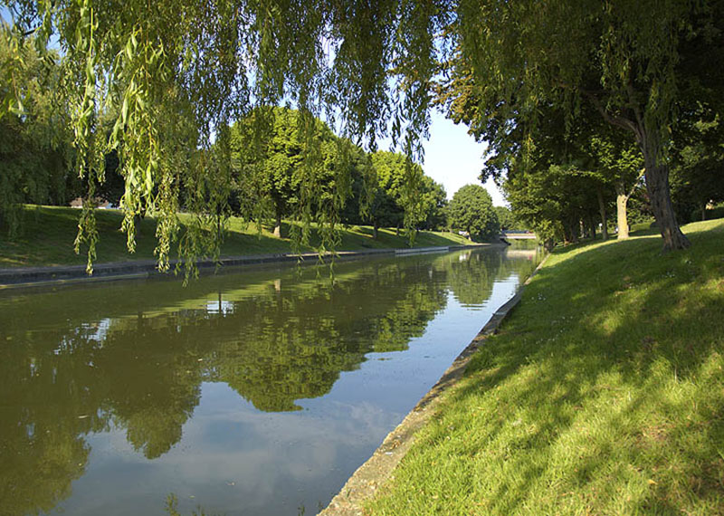
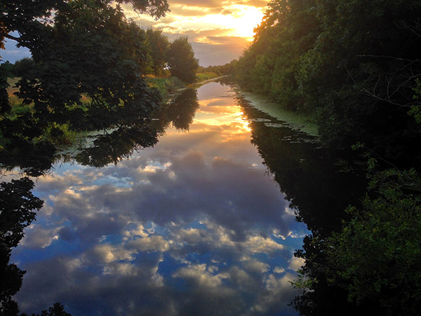
The Royal Military Canal stretches for 28 miles hugging the old cliff line that borders the Romney Marsh from Hythe in the north east to Cliff End in the South West.
It was built as a third line of defence against Napoleon, after the British Royal Navy patrolling the English Channel and the line of 74 Martello Towers built along the South coast. The Royal Military Canal was constructed in two sections. The longest section starts at Hythe in Kent and ends at Iden Lock in East Sussex. The second smaller section runs from the foot of Winchelsea Hill to Cliff End. Both sections are linked by the Rivers Rother and Brede.
History of the Royal Military Canal
The first sod of the Royal Military Canal was dug at Seabrook, Kent on 30th October 1804. The canal was completed in April 1809 at a cost of £234,000 (£10 million in today’s money), remarkably close to the estimate of £200,000.
The canal was dug by hand by “navigators”, workmen who travelled the country building the canals and railways during this period. The excavated soil was piled up on the landward side to form a parapet to enable troops to move along the canal protected from enemy fire. A narrower road was built on the seaward side as a towpath for the horses pulling the barges. At every 500 metres along the canal’s length a kink was made to enable cannons to be fired down each stretch.
‘Station Houses’ were built at every bridge along the canal. These were in fact guard houses and one of the roles of the soldiers posted in these houses was to control smuggling which was rife on the Romney Marsh at that time. The soldiers, however, were often corrupt and could easily be bribed by the smugglers with either money or contraband goods. Shortly after the construction of the canal, Preventative Officers were also employed on the Marsh to catch smugglers. While easy to bribe, the Officers were paid according to the number of smugglers they caught which provided a greater incentive to carry out their duties properly.
After the war, a barge service was established from Hythe to Rye. The Government abandoned the canal in 1877 and leased it to the Lords of the Level of Romney Marsh. The Canal is now used by the Environment Agency to manage water levels across much of the Marsh, and is vital to the areas flood protection.
Walk the Canal
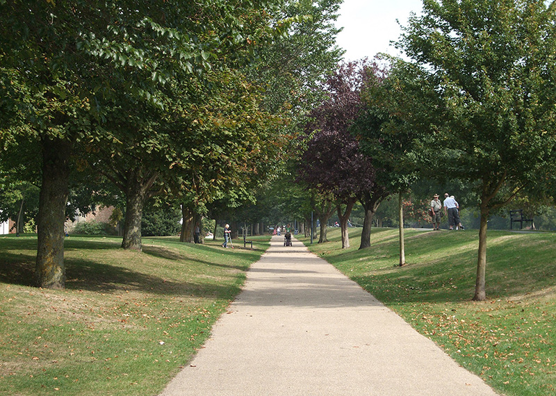
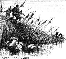
Today the full length of the canal has a public footpath along it and makes an excellent waymarked long distance trail. The canal is also a haven for some of the special wildlife of the Romney Marsh, kingfishers can be regularly seen and during the summer months the canal comes alive with dragonflies and noisy marsh frogs.
The Royal Military Canal Walks Pack
The walks pack, which is also part of the Royal Military Canal project, contains 10 self-guided circular walks which explore the wildlife and history of the canal and its surrounding areas.
The pack is priced at £8; the easiest way to buy a pack is to visit our other webpage (https://www.whitecliffscountryside.org.uk/support-us/shop)where you can purchase one via our shop. Alternatively, you can obtain a copy by sending a cheque, made payable to Dover District Council, to:
Romney Marsh Countryside Partnership
C/o Dover District Council
White Cliffs Buisness Park
Whitfield, Dover
Kent
CT16 3PJ
Or email us at RMCP@dover.gov.uk for information on how to pay by bank transfer.
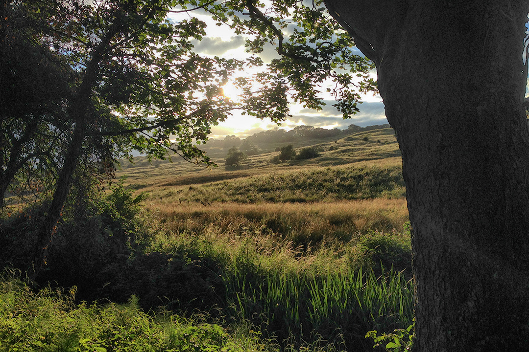
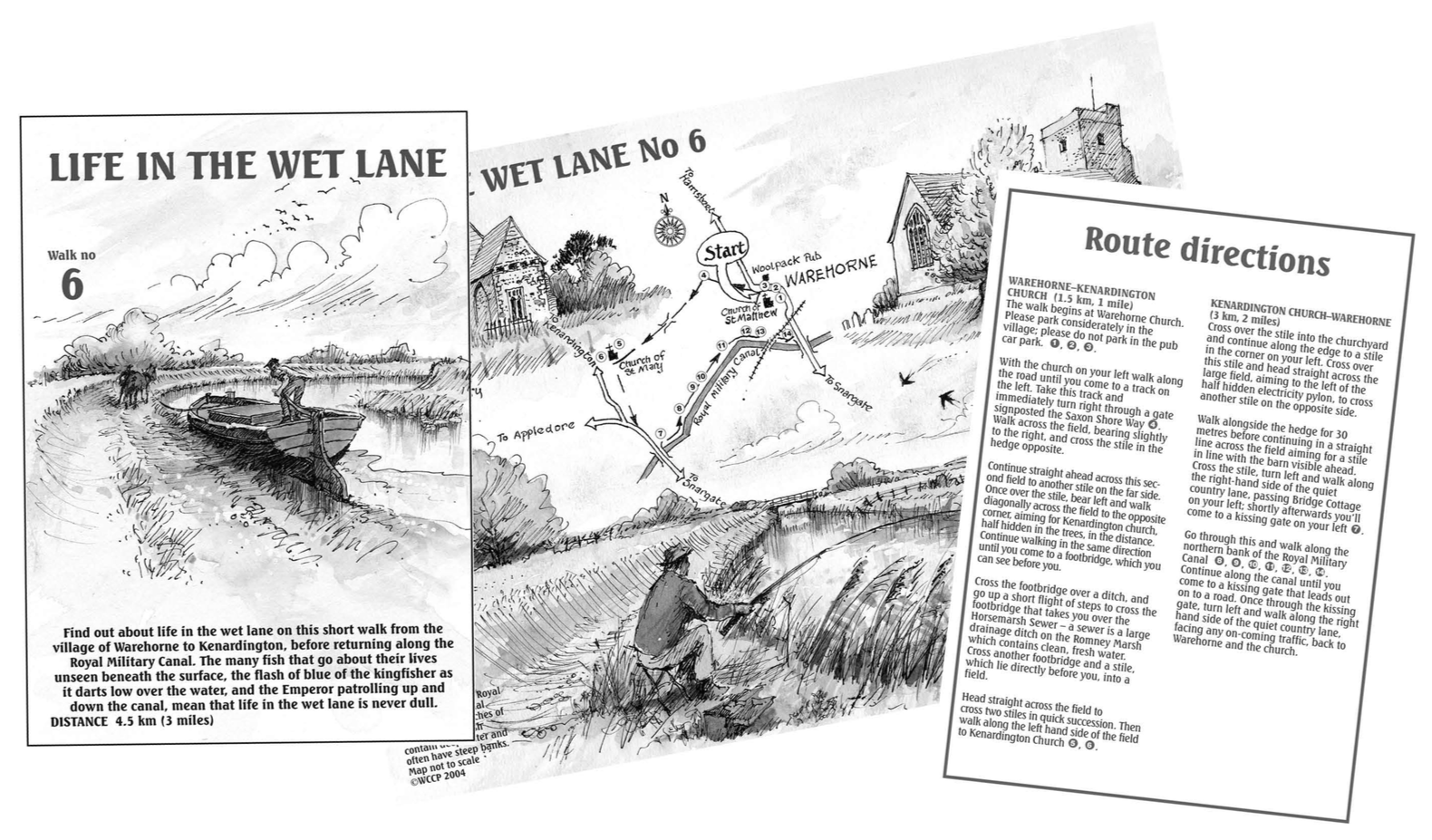
Walk 6
Click to download the Royal Military Canal walk six, illustrated to the left